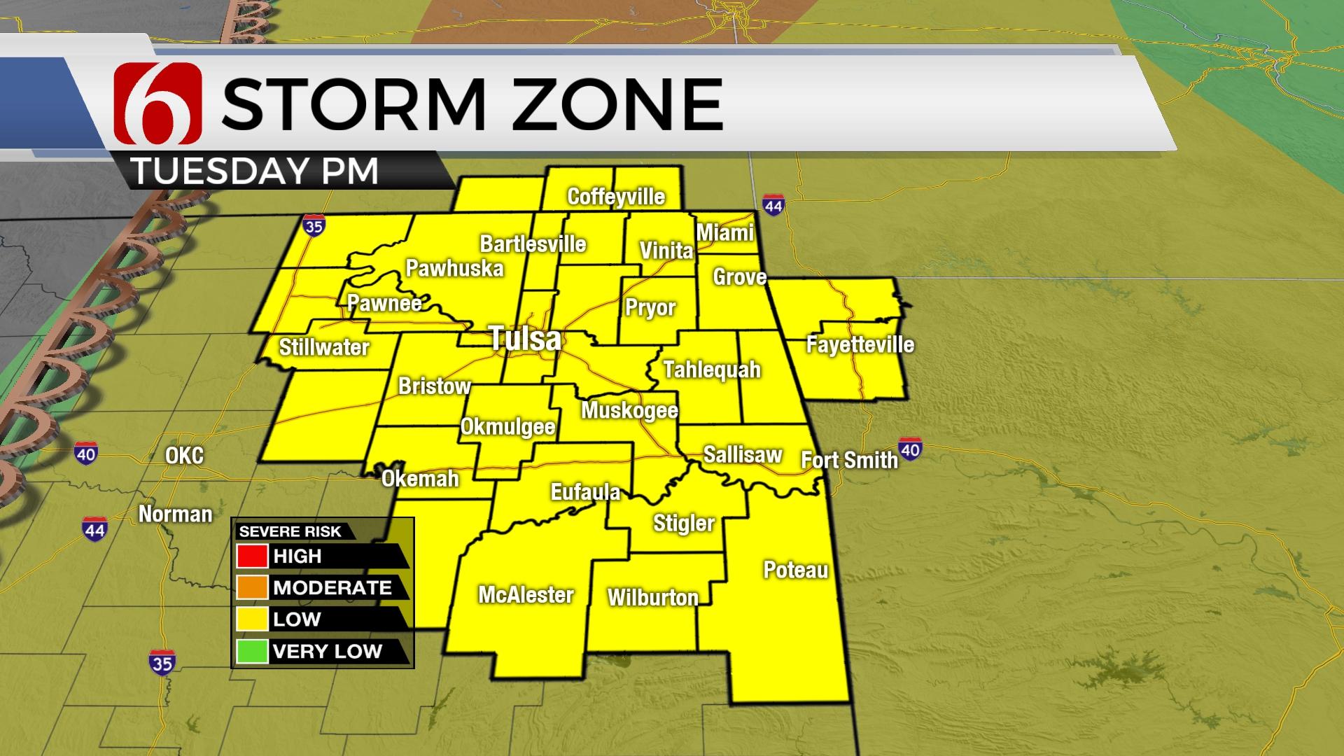
Risk For Evening Storm Across Eastern Oklahoma Tuesday Night

Here are the details from News On 6 Meteorologists:
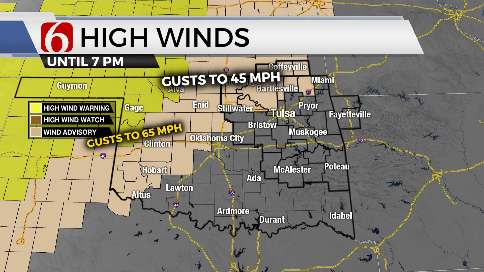
The chance for thunderstorm development along the dryline will remain mostly low later Tuesday afternoon and early evening. But if storms do form, there will remain a high likelihood of severe weather, including very large hail, damaging winds, and tornadoes. Most data continue supporting the CAP ( the layer of warm air aloft) suppressing or greatly limiting the number of storms along the dryline. A subtropical wave across Texas may develop a broad area of showers and storms to this afternoon moving across NE TX into far southcentral OK tonight. This may act to further limit any storm production across central OK along the dryline. West of the dryline, temps still soar into the lower 90s with southwest winds from 30 to 60 mph and extremely dry air promoting another critically high fire danger afternoon.
The dryline will retreat westward briefly later Tuesday night before a pacific cold front arrives from central Kansas pre-dawn Wednesday with another chance for storms along the advancing cold front. There will be a small chance for severe storms along the cold front pre-dawn Wednesday for a few hours before the storms exit southeastern OK midday Wednesday. The accelerating front should undercut updrafts as the boundary moves southeast. As the cold front passes the area Wednesday, the threat for severe weather will end with this system. Temps should drop into the mid-50s Wednesday morning and rebound to the upper 60s midday for highs. Clearing sky and light winds will allow Thursday morning temps to drop into the upper 30s and lower 40s and afternoon highs reaching the mid to upper 60s with mostly sunny conditions. Thursday features the best weather day of the week before another system nears Friday into the weekend.

Additional storms are possible Friday into part of the weekend with another strong cold front nearing. As this system passes, below normal temps will follow for a few days early next week.
I’ll have more specifics on the weekend tomorrow.
Thanks for reading the Tuesday morning weather discussion and blog.
Have a super great day!
Alan Crone
KOTV
If you’re into podcasts, check out my daily weather update below. Search for NewsOn6 and ‘Weather Out The Door’ on most podcast providers, including Spotify, Stitcher, Tune-In and down below on Apple.
